El Tavor Hotel: Grand Canyon National Park, Arizona

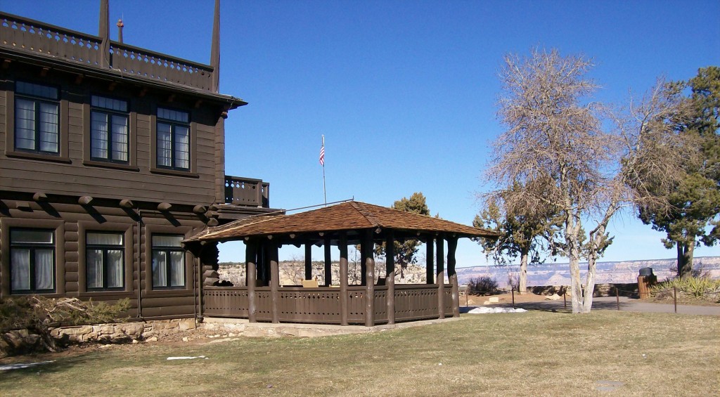
The hotel is a registered national historic landmark located on the South rim.  When we arrived we could not wait to look out over the magnificent canyon.

El Tavor Hotel Photo by Nicki Hurd

I’ve read it is generally fully booked, even during off season. We were very happy to be able to reserve a room in this alluring place that has hosted such luminaries as Theodore Roosevelt, Albert Einstein, Nicki Hurd and Andrew Leggett. :- )  I imagined them gasping and admiring the landscape.

It was January and nice to be there during the season that it is not its busiest. The cool air in the day was agreeable for hiking.   At night there was a myriad of stars but it dropped below freezing. We enjoyed returning to the hotel in the evening, to this warm and cozy structure of native stone and Oregon pine. The Architect was Charles Whittlesey, who was the chief Architect for the Santa Fe Railway.  It is an early example of the style that evolve into National Park Service Rustic architecture.

We had dinner and a breakfast in the Dining Room, a gourmet restaurant that is pricey but delicious with some seats that have a great view of the canyon.  The Dinning Room is considered the “premier dining establishment at the Grand Canyon”.  The meals, presentation, and the staff were exceptional, and really made it feel like a special occasion.  The lounge was not as grand or as exorbitant, but the food was good.

Our room was located on the floor just above the mezzanine, which has an octagon shape, a sitting area with desks and tables and overlooks the entrance, which had a large lodge comfortable lounging area.   Outdoors it has a lovely veranda, a front porch with rocking chairs, and around back there are porch swings.  I could spend a lot of time relaxing there. January, 2011


Watchtower: Grand Canyon National Park, Arizona

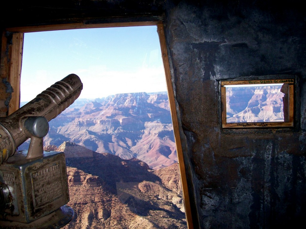
There is much to behold here within the interior, and focusing out over the majestic vista.  From the tower is a panoramic view for well over 100 miles,  including the Painted Desert to the east, and to the San Fransico Peaks south.

Grand Canyon Photo by Nicki Hurd

Designed to blend into the environment, inspired by architecture of the ancestral Puebloan people of the Colorado Plateau, it is a replica of a prehistoric Indian Tower, and stands 70 feet (21 m) high.

In the 16th century the Spanish called the native people of the southwest that were living in villages the Pueblo.  The Hopis were believed to have descended from the ancient Pueblo cultures.   The tower has rock art paintings throughout that tell stories. The gallery on the first landing represents the physical and spiritual origins of Hopi life, painted by a Hopi artist, Fred Kabotie.

On the ceiling are paintings by Fred Geary, which are recreations of images from Abo Rockshelter that are now part of Salinas National Monument in New Mexico.   It all enhanced the pondering of earlier cultures living here, and those far into the future that will travel to gaze at the wonder.  The highest floor is left with just the beautiful panoramic views of the Grand Canyon.

In January there were many viewers all with various devices from smart phones to master lenses snapping pictures, but it was also possible to catch some quiet moments alone on each level.

There is a small gift shop selling local artist’s crafts for those of us that like to take something home to savor the experience. January, 2011


South Rim: Grand Canyon National Park, Arizona

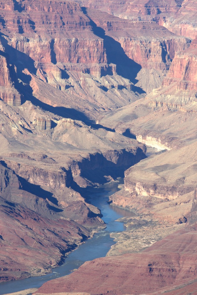
  It was a long drive from Austin, but well worth it to see one of the Seven Natural Wonders of the World.  With wide eyes we approached the chasm and did not know where to look, but wanted to linger and look everywhere.

Grand Canyon  Photo by Andrew Leggett

Taking it all in is impossible as it is immense in size.  The Grand Canyon is 277 miles (446 km) long, up to 18 miles (29 km) wide and attains a depth of over a mile (6,000 feet / 1,800 meters .  It is a collection of erosion forms and geological colors.  I imagined traveling into the canyon to hear echos and the sounds of whatever might be lurking.  Recent evidence suggests the canyon was formed at least 17 million years ago.  Standing near it was like being ingested into history. January, 2011


Eagle, Wisconsin

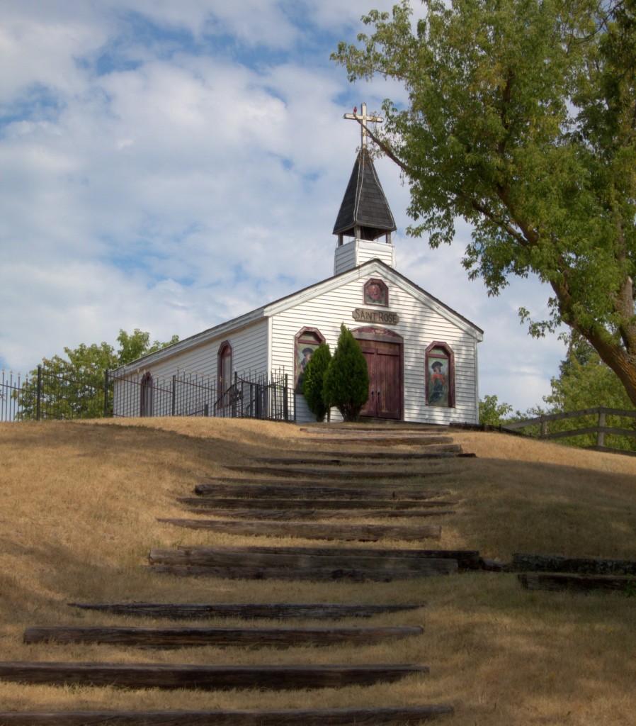
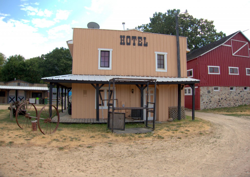
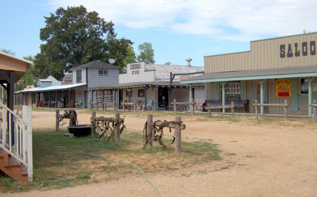
Andrew found this little Western Town Set on County Road S.   We were not sure what it is used for, perhaps an event center.

Western Town Photo by Andrew Leggett

Western Town Photo by Andrew Leggett


County Road S Photo by Nicki Hurd

County Road S Photo by Nicki Hurd


Amongst farms in the Lauderdale Lake area and across the road from Eagle Oak Opening State Natural Area, a critical habitat for rare species, which contains a large numbers of open-grown white and bur oaks.   The oak savanna was once one of the most common vegetation types in the Midwest but is highly endangered today .

Early conservationists from 1930 – 1950 recognized the importance of natural areas and the consequences of their loss, and set up the State Natural Area Program to protect Wisconsin’s natural communities.  Intact oak savannas, are now one of the rarest plant communities on earth.

We were curious and could hear someone working in one of the buildings, but we did not stay long enough to find out. It was a very hot day, after taking a few photographs in the blazing heat we road off into the sunset.  July, 2012


Rice Lake: Kettle Moraine State Forest – Southern Unit, Wisconsin

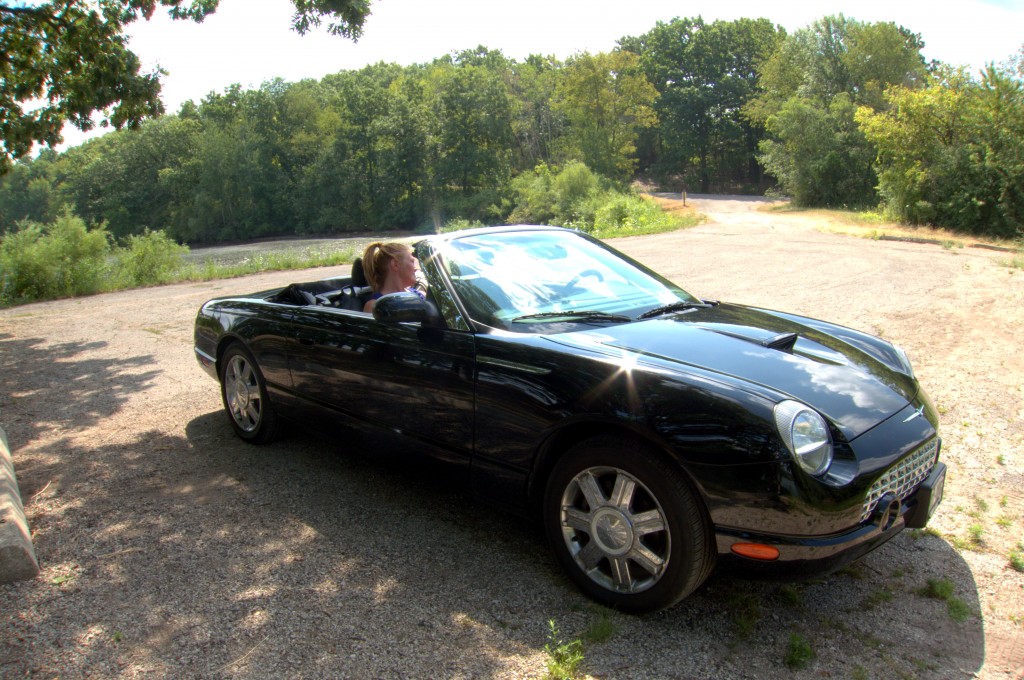
It was nice to be in a convertible, to feel the air and connected to all that was around, but we were always looking for the shade of the trees.

Jaunt around Rice and Whitewater Lake Photo by Andrew Leggett

We drove around a scenic route that wrapped around the lakes.  There is a 115 mile drive  through the other Units;  Pike Lake, Loew Lake, Lapham Peak, and Mukwoare River, until it reaches the Northern Unit. July, 2012

A walk in the woods: Kettle Moraine State Forest – Southern Unit, Wisconsin

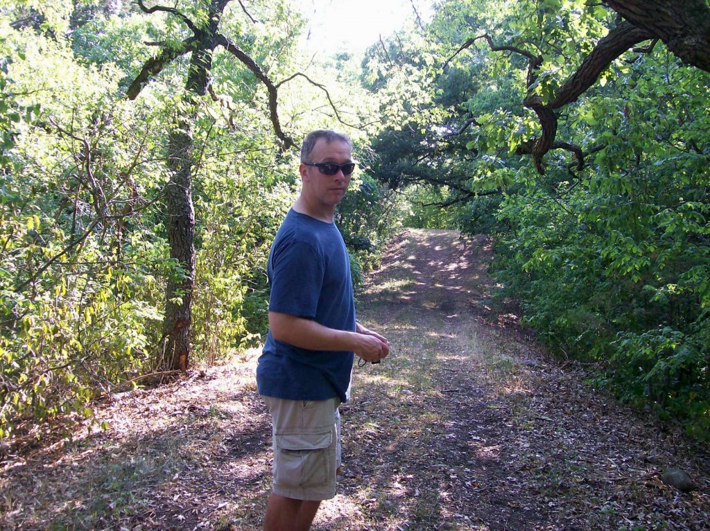
We managed a short hike in the woods through a shaded path.   I loved the majestic trees and the shelter they offer from the scorching sun.

Kettle Moraine State Forest Photo by Nicki Hurd

The terrain features of this area is a result of the Wisconsin Glacier movement during the last Ice Age. The Ice Age National Scenic Hiking Trail has three shelters for those keen to hike all of the way.  Maybe next time. It is in the works to complete a trail through the state of Wisconsin,  600 miles are finished and it will reach a 1000.  iceagetrail.org July, 2012


Kettle Moraine State Forest – Southern Unit, Wisconsin

 It is dotted with kettles caused by buried glacial ice, and the hills of glacial deposits, which can rise up to 300 ft (91 m) from the lakes. Holy Hill, Pulford Peak, and Lapham Peak are some of the largest .

photo by Nicki Hurd

Photo by Nicki Hurd

We went for a lovely drive to see the forest and soak up some of the history.  The imagine of the glacial ice was appealing in the blistering heat.

July, 2012

Café: LaGrange, Wisconsin

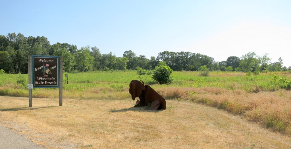
We managed to find a latté and art in the Southern Unit of the Kettle Moraine State Forest.

Café and Bike Rentals at  Southern Kettle Moraine in LaGrange, Wisconsin

Backyard Bikes and Ski General Store, Cafè and Deli  Photo by Nicki Hurd

It was sweltering with too many hills for us to consider cycling but it did not deter many that were better conditioned.  A not coffee in the air conditioning suited us.

July, 2012

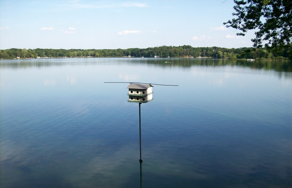
Morning coffee on the deck overlooking: Pleasant Lake in Elkhorn, Wisconsin

I grew up in northern Illinois not far from the Wisconsin border but it has been a very long time since I have been in the area and I have forgotten how pretty and green Wisconsin is.

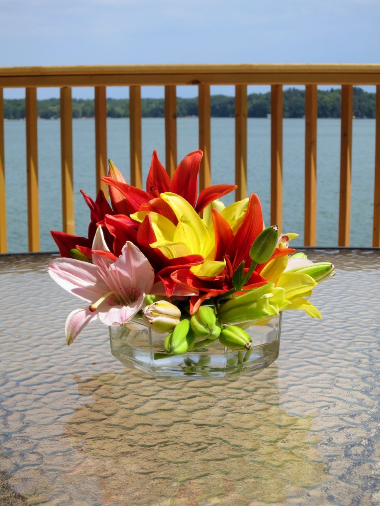
Pleasant Lake (deck)

Pleasant Lake (deck) Photo by Andrew Leggett

We enjoyed morning coffee and dinner on the deck. July, 2012