Riverwalk San Antonio,Texas

 Just down the road, as they say in San Antonio about Austin… and it is convenient.

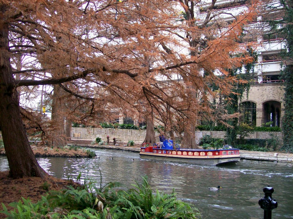
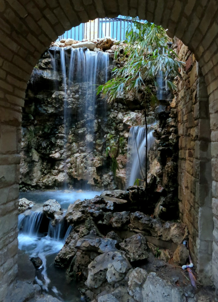
Riverwalk Photo by Ncki Hurd

Riverwalk Photo by Ncki Hurd

Going to the Riverwalk from ours is just a few turns and about one and a half hours travel time.

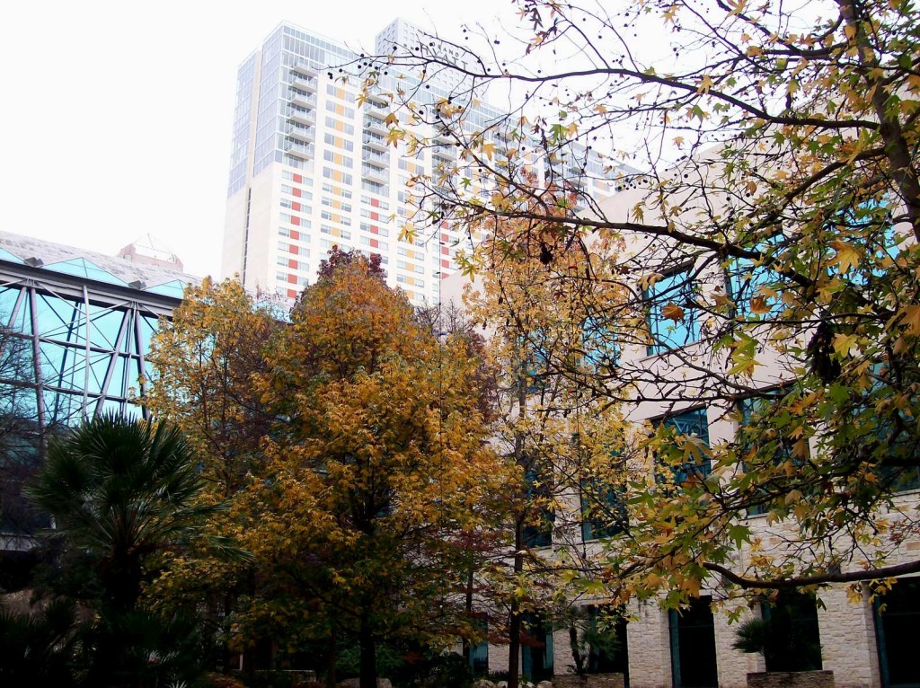
Grand Hyatt San Antonio, Texas Photo by Nicki Hurd

Grand Hyatt San Antonio, Texas Photo by Nicki Hurd

The Grand Hyatt was our accommodation this time.  After dinner and cocktails the room  was just a  a lift away. Riverwalk’s convenience gives us a welcome break from driving in the Austin traffic.

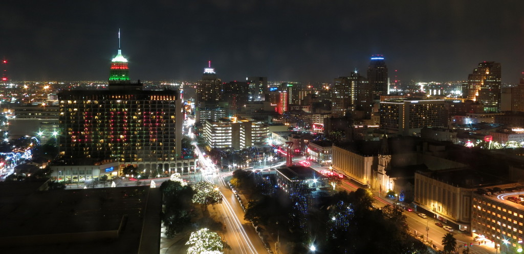
Grand Hyatt San Antonio, Texas Photo by Andrew Leggett

Grand Hyatt San Antonio, Texas Photo by Andrew Leggett

A pool area on the 5th floor offers a view of the city at night.  There are tenants on the upper floors. No roof access for hotel guests.

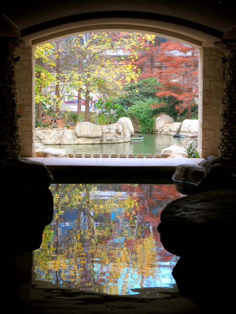
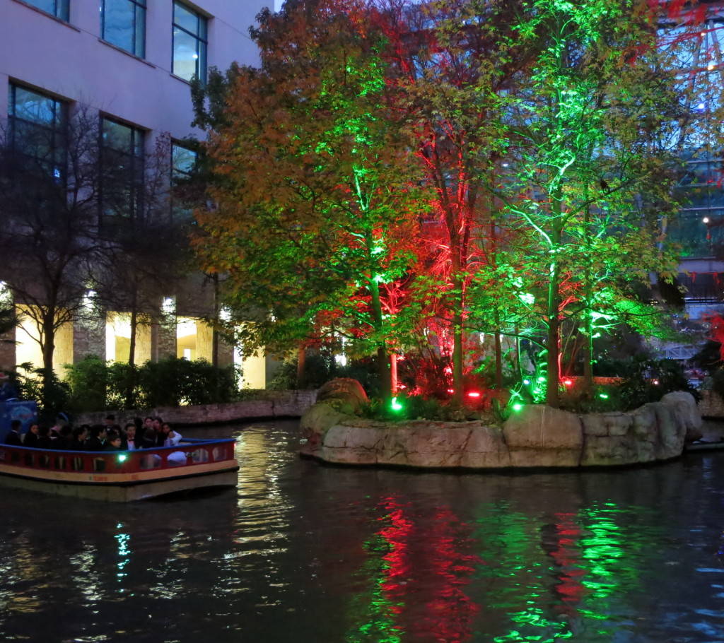
Riverwalk San Antonio, Texas Photo by Andrew Leggett

Riverwalk San Antonio, Texas Photo by Andrew Leggett

All of the eateries and hotels are close by, but we still managed to get a lot of steps in.

Riverwalk San Antonio, Texas Photo by Andrew Leggett

Riverwalk San Antonio, Texas Photo by Andrew Leggett

It is generally busy with tourists, but there are various retreats along the way.

Riverwalk San Antonio, Texas Photo by Andrew Leggett

Riverwalk San Antonio, Texas Photo by Andrew Leggett

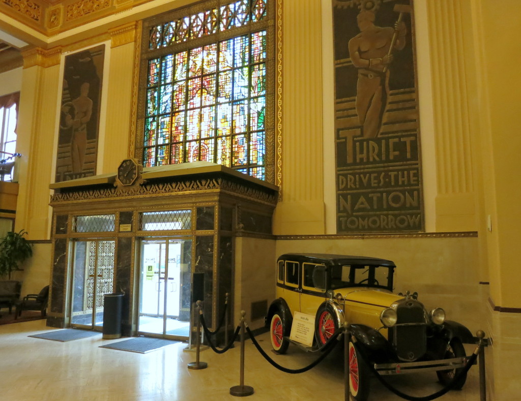
Exploring historical hotels along the walk was part of the adventure.

Drury San Antonio, Texas Photo by Andrew Leggett

Drury San Antonio, Texas Photo by Andrew Leggett

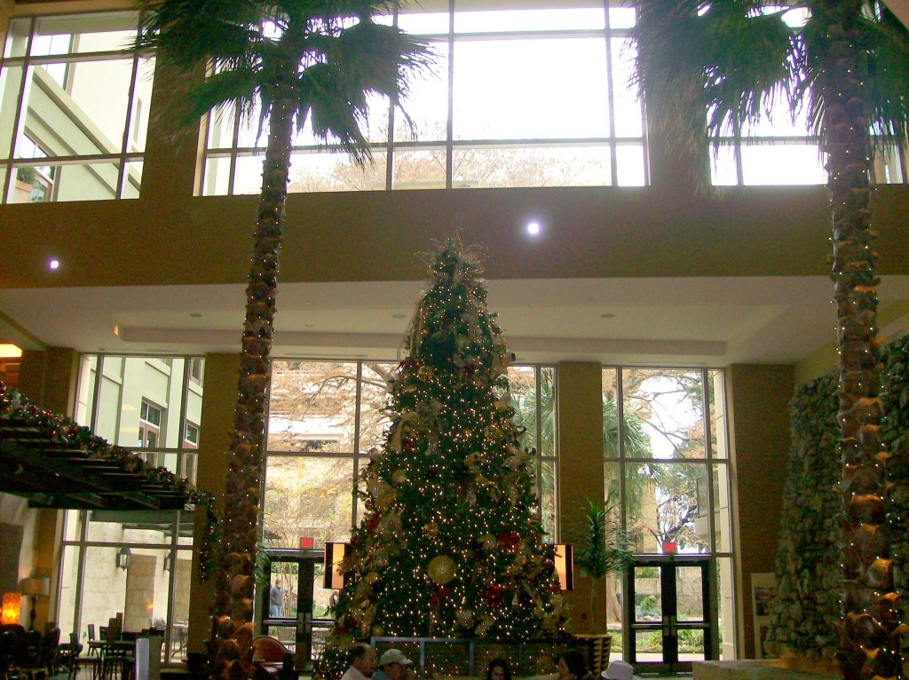
We inspected numerous rooftops, lounge areas, and holiday decor.

Hotel Photo by Nicki Hurd

Hotel Photo by Nicki Hurd

Hemisphere Park is adjacent to the Riverwalk.

Hemisfair Park San Antonio, Texas Photo by Andrew Leggett

Hemisfair Park San Antonio, Texas Photo by Andrew Leggett


December 27 2013
Eagle, Wisconsin

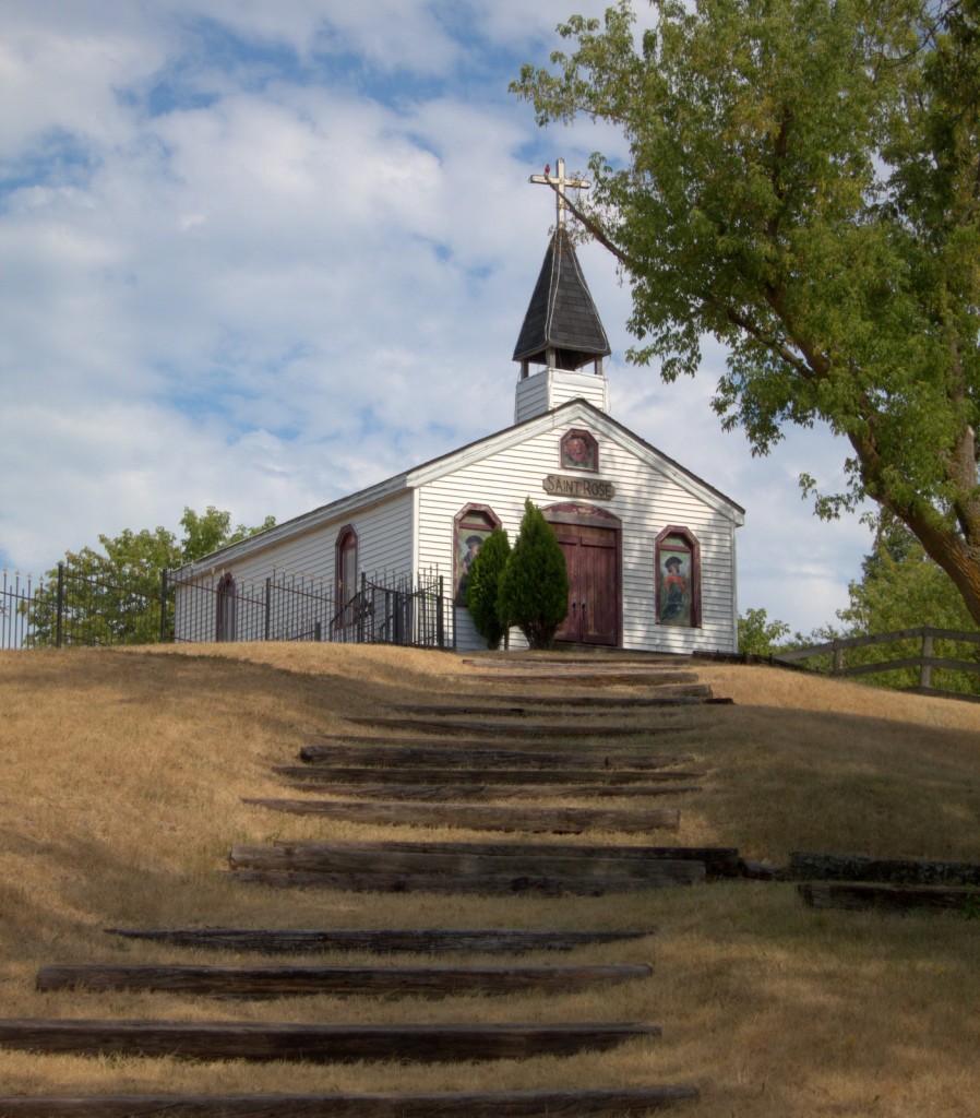
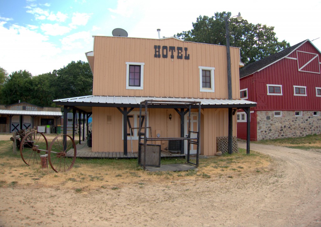
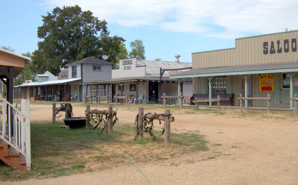
Andrew found this little Western Town Set on County Road S.   We were not sure what it is used for, perhaps an event center.

Western Town Photo by Andrew Leggett

Western Town Photo by Andrew Leggett


County Road S Photo by Nicki Hurd

County Road S Photo by Nicki Hurd


Amongst farms in the Lauderdale Lake area and across the road from Eagle Oak Opening State Natural Area, a critical habitat for rare species, which contains a large numbers of open-grown white and bur oaks.   The oak savanna was once one of the most common vegetation types in the Midwest but is highly endangered today .

Early conservationists from 1930 – 1950 recognized the importance of natural areas and the consequences of their loss, and set up the State Natural Area Program to protect Wisconsin’s natural communities.  Intact oak savannas, are now one of the rarest plant communities on earth.

We were curious and could hear someone working in one of the buildings, but we did not stay long enough to find out. It was a very hot day, after taking a few photographs in the blazing heat we road off into the sunset.  July, 2012


Rice Lake: Kettle Moraine State Forest – Southern Unit, Wisconsin

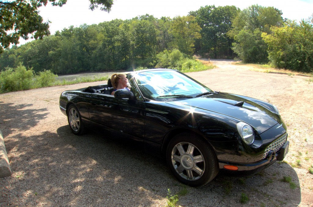
It was nice to be in a convertible, to feel the air and connected to all that was around, but we were always looking for the shade of the trees.

Jaunt around Rice and Whitewater Lake Photo by Andrew Leggett

We drove around a scenic route that wrapped around the lakes.  There is a 115 mile drive  through the other Units;  Pike Lake, Loew Lake, Lapham Peak, and Mukwoare River, until it reaches the Northern Unit. July, 2012

A walk in the woods: Kettle Moraine State Forest – Southern Unit, Wisconsin

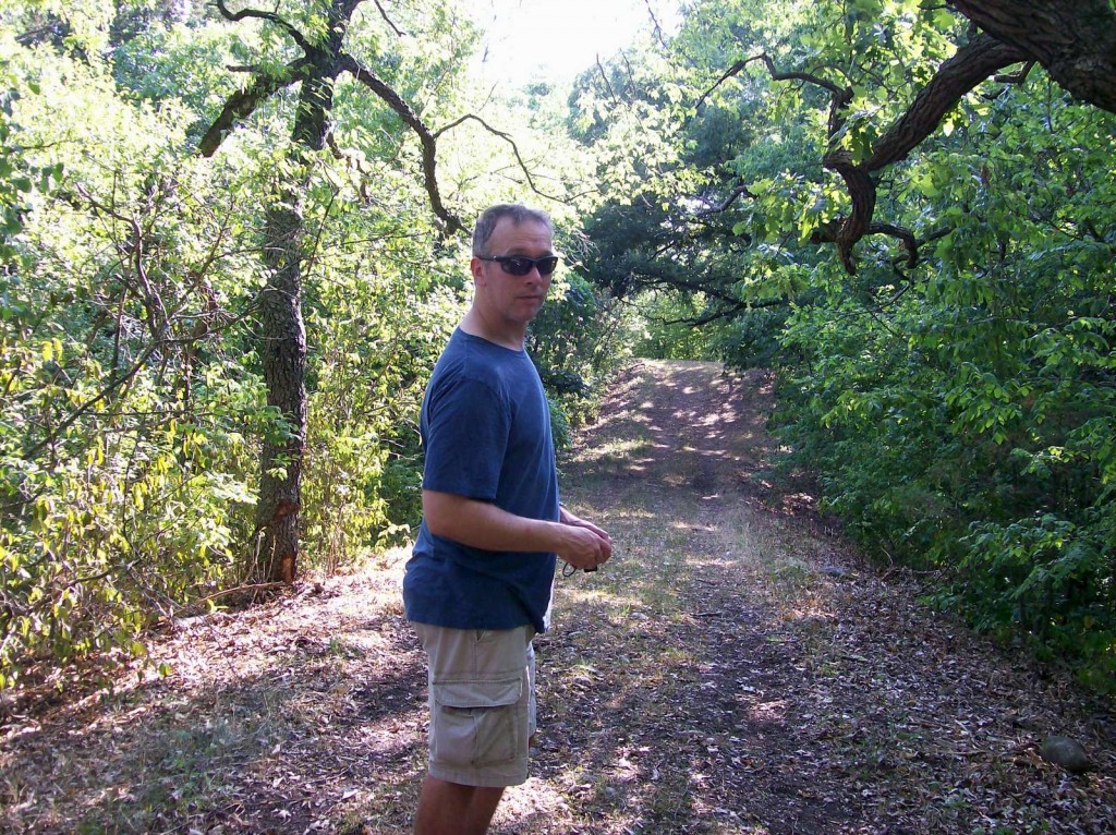
We managed a short hike in the woods through a shaded path.   I loved the majestic trees and the shelter they offer from the scorching sun.

Kettle Moraine State Forest Photo by Nicki Hurd

The terrain features of this area is a result of the Wisconsin Glacier movement during the last Ice Age. The Ice Age National Scenic Hiking Trail has three shelters for those keen to hike all of the way.  Maybe next time. It is in the works to complete a trail through the state of Wisconsin,  600 miles are finished and it will reach a 1000.  iceagetrail.org July, 2012


Kettle Moraine State Forest – Southern Unit, Wisconsin

 It is dotted with kettles caused by buried glacial ice, and the hills of glacial deposits, which can rise up to 300 ft (91 m) from the lakes. Holy Hill, Pulford Peak, and Lapham Peak are some of the largest .

photo by Nicki Hurd

Photo by Nicki Hurd

We went for a lovely drive to see the forest and soak up some of the history.  The imagine of the glacial ice was appealing in the blistering heat.

July, 2012

Café: LaGrange, Wisconsin

We managed to find a latté and art in the Southern Unit of the Kettle Moraine State Forest.

Café and Bike Rentals at  Southern Kettle Moraine in LaGrange, Wisconsin

Backyard Bikes and Ski General Store, Cafè and Deli  Photo by Nicki Hurd

It was sweltering with too many hills for us to consider cycling but it did not deter many that were better conditioned.  A not coffee in the air conditioning suited us.

July, 2012

Morning coffee on the deck overlooking: Pleasant Lake in Elkhorn, Wisconsin

I grew up in northern Illinois not far from the Wisconsin border but it has been a very long time since I have been in the area and I have forgotten how pretty and green Wisconsin is.

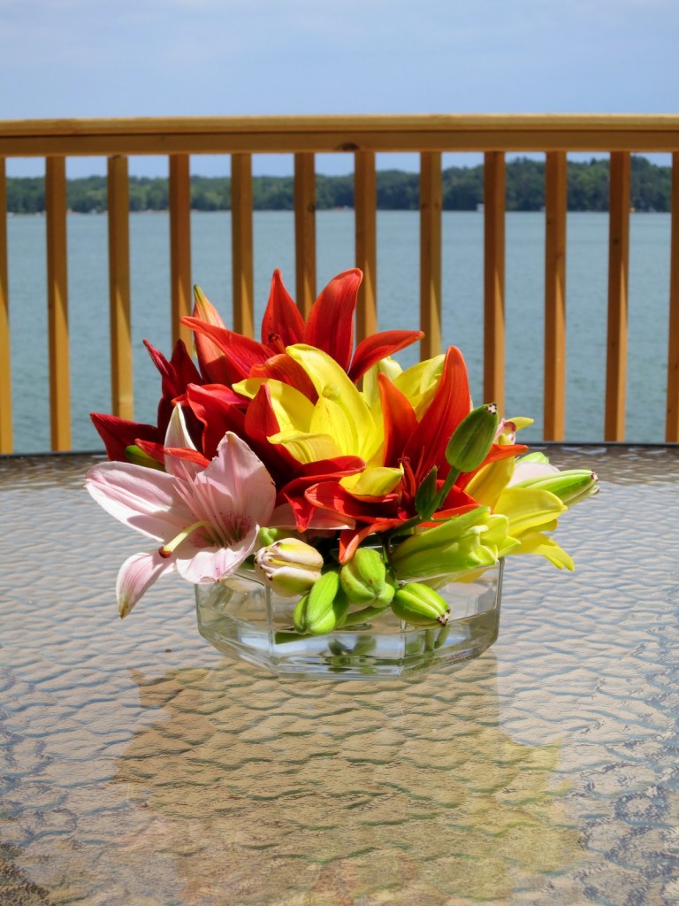
Pleasant Lake (deck)

Pleasant Lake (deck) Photo by Andrew Leggett

We enjoyed morning coffee and dinner on the deck. July, 2012